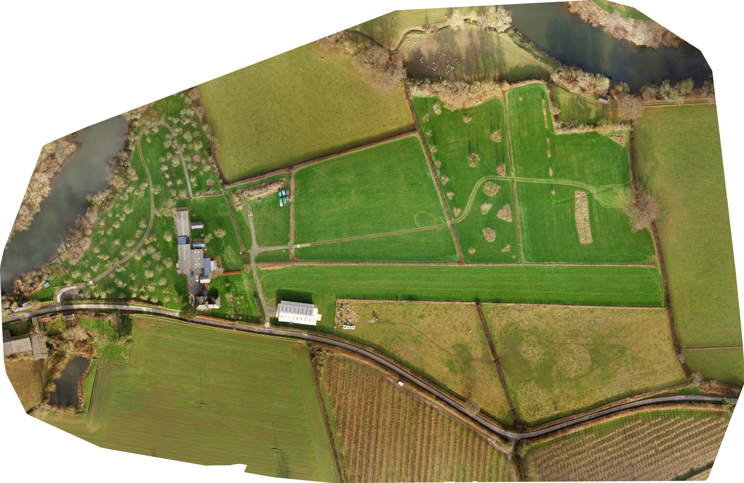
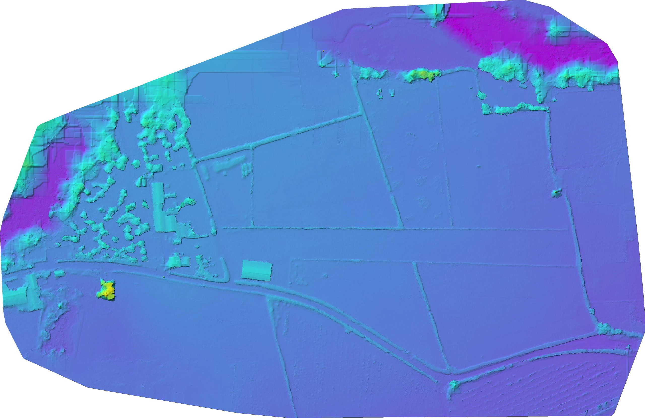
JRNVisuals produced an aerial mapping survey for Byecross Farm Campsite to be used for planning and development purposes. The images can be enlarged to show any particular area of interest. This application has been extremely useful to obtain reliable, accurate data for uses such as building development and site surveys.
Client:
Byecross Farm Campsite
Service:
Aerial Surveying
Previous ProjectMulti-Let Roadside Development Nottingham